2002-2022 ☆ 20 years of adventures... and counting!
Professional Road and Adventure
Maps for Your Caribbean Travels
2002-2022 ☆ 20 years of adventures... and counting!
Professional Road and Adventure
Maps for Your Caribbean Travels


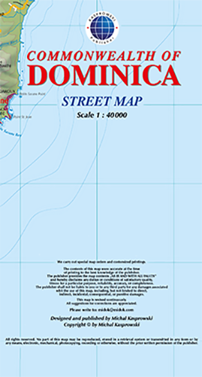
This first and only complete road map of Dominica (Scale 1 : 40 000) displays the island's entire network of roads and streets with their names, includes hiking trails, pinpoints a large number of diving sites and several shipwreck sites around the island, and provides insets and street indexes for the major urban areas: Roseau capital, Mero-St. Joseph, Wallhouse-Loubière, and Lagon-Portsmouth-Glanvillia.
The map is sold folded, measuring 6" x 8" (15 cm x 20 cm), and is designed for easy opening and refolding. Its full unfolded format is 29 1/4" x 48 1/2" (74 cm x 123 cm).
It contains the following features: