2002-2022 ☆ 20 years of adventures... and counting!
Professional Road and Adventure
Maps for Your Caribbean Travels
2002-2022 ☆ 20 years of adventures... and counting!
Professional Road and Adventure
Maps for Your Caribbean Travels


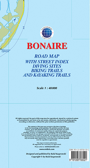
The most up-to-date and only complete road map of Bonaire (Scale 1 : 40 000), as well as the Kralendijk urban area, spanning from Santa Barbara Crowns, through the airport, to Punt Vierkant (Scale 1 : 15 000). An inset of Rincon (Scale 1 : 12 000) is also included. All maps and insets come with thorough street indexes.
All of the official diving sites around Bonaire and Klein Bonaire are displayed, most of them with their GPS locations, as recorded by STINAPA, the island's official conservation foundation.
The map shows all the island's known roads and streets with their names, as well as an extensive set of biking routes and kayaking trails.
The map is sold folded, measuring 5 1/4" x 9 5/8" (13.5 cm x 24.5 cm) and is designed for easy opening and refolding. Its full unfolded format is 26 3/8" x 38 1/2" (67 cm x 98 cm). The map can be hung on a wall to show the entire island.
It contains the following features: