Professional Road and Adventure Maps for Your Caribbean Travels


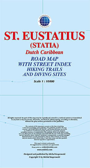
This first and only complete road map with a street index of the Dutch Caribbean island of Saint Eustatius (Statia, scale 1 : 10 000) shows all known roads and streets with their names, as well as hiking trails, diving sites, Quill and Boven national parks, and many other travel destinations.
The map is sold folded, measuring 4 7/8" x 8 7/8" (12.5 cm x 22.5 cm), and is designed for easy opening and refolding. Its full unfolded format is 26 3/8" x 35" (67 cm x 89 cm).
Designed for travelers, this excellent map has unsurpassed coverage of the island, and its extensive information and depth of detail fit a broad range of interests. The map has hill shading, three levels of roads (footpaths, secondary roads, and main roads) and symbols representing a large number of physical features.
It contains the following features: